Plot wet/dry sides
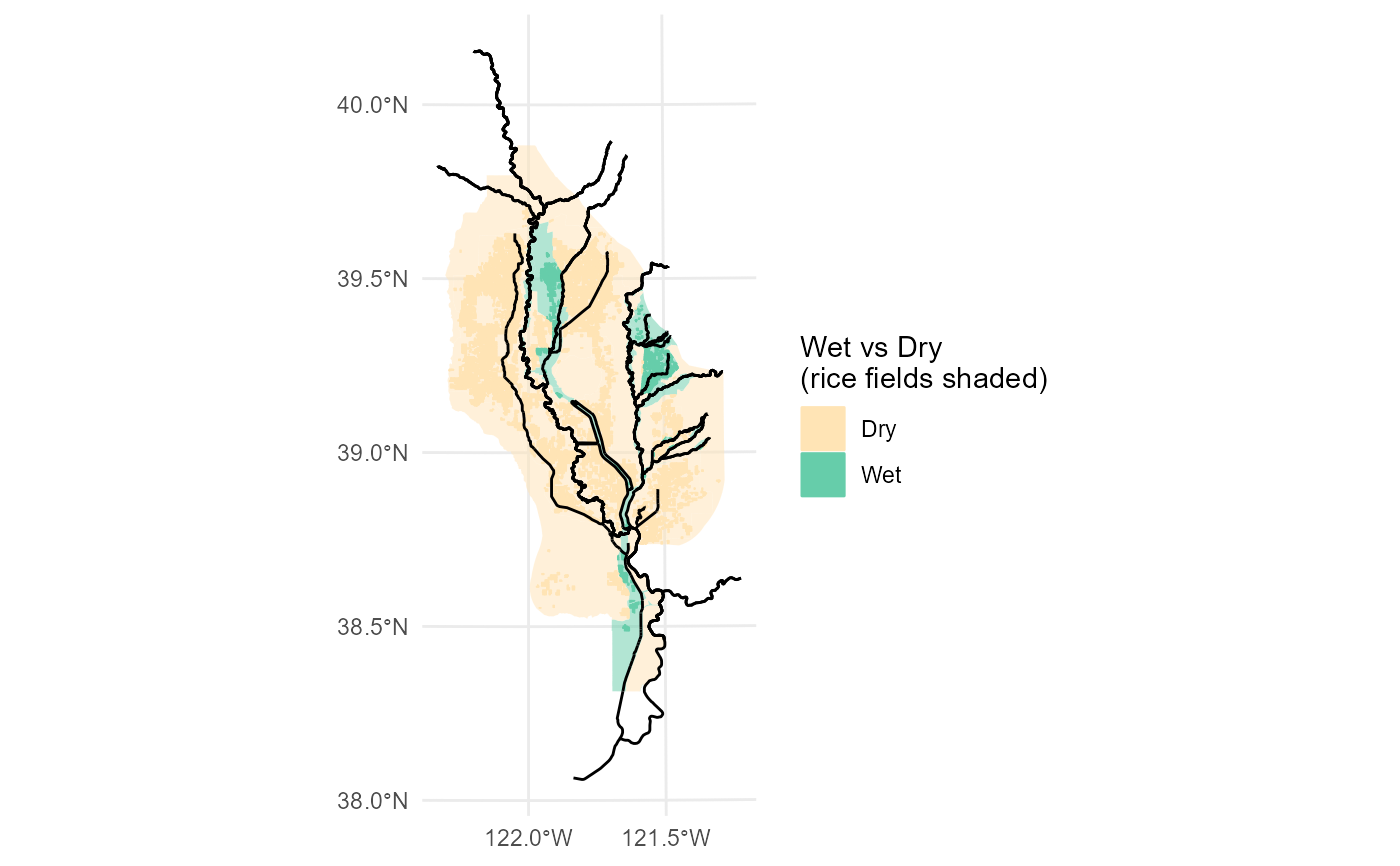
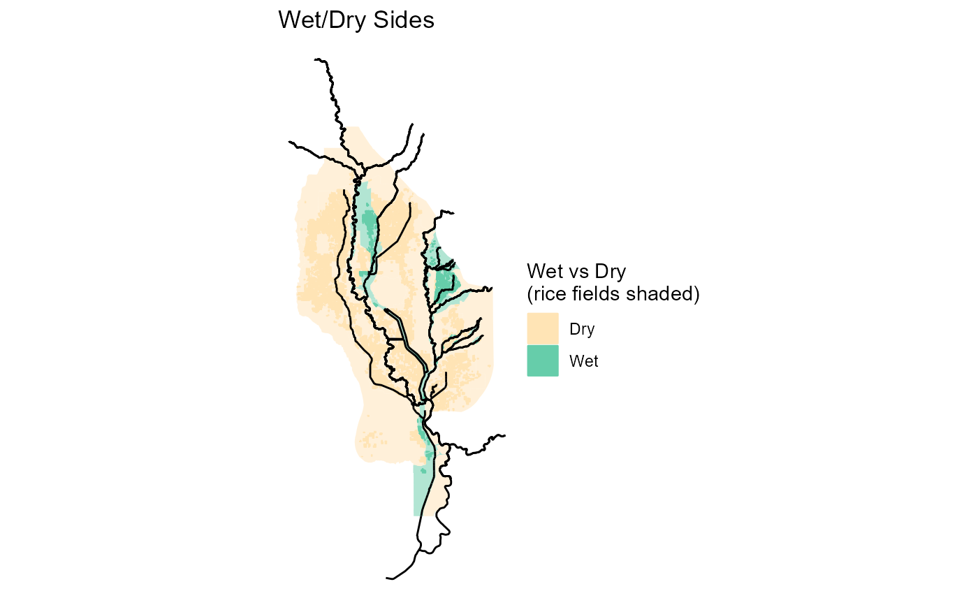
ff_plot_wetdry.RdPlot all fields. Displays the watersheds, return points, and waterways as well. Returns are distinguished as draining directly into the fish-bearing stream or via a secondary waterway.
ff_plot_wetdry(filename, width = NA, height = NA, units = NULL)Arguments
- filename
File name to create PNG image on disk. Optional if saving the plot is desired.
- width
Plot width in
units. If not supplied, uses the size of current graphics device.- height
Plot height in
units. If not supplied, uses the size of current graphics device.- units
Units used for the width and height ("in", "cm", "mm", or "px"). Uses default
ggplotdpi settings for resolution.
Examples
ff_plot_wetdry()
#> Joining with `by = join_by(unique_id)`
 # Returns a ggplot object that can be chained to additional ggplot functions
ff_plot_wetdry() + ggplot2::ggtitle("Wet/Dry Sides") + ggplot2::theme_void()
#> Joining with `by = join_by(unique_id)`
# Returns a ggplot object that can be chained to additional ggplot functions
ff_plot_wetdry() + ggplot2::ggtitle("Wet/Dry Sides") + ggplot2::theme_void()
#> Joining with `by = join_by(unique_id)`
 # Save the output (or for more options, follow the function with a call to ggplot2::ggsave)
ff_plot_wetdry(filename="temp/out.png", width=5, height=7, units="in")
#> Joining with `by = join_by(unique_id)`
# Save the output (or for more options, follow the function with a call to ggplot2::ggsave)
ff_plot_wetdry(filename="temp/out.png", width=5, height=7, units="in")
#> Joining with `by = join_by(unique_id)`
